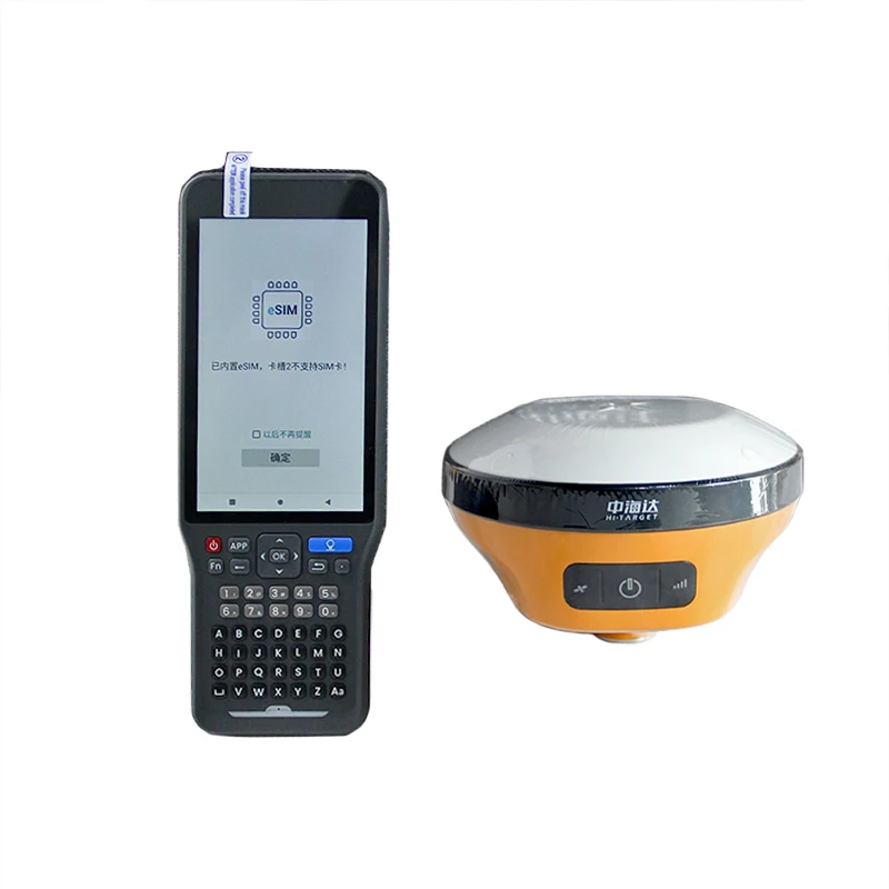
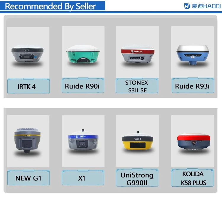
V200 RTK GNSS Survey System
The V200 RTK GNSS Survey System is a professional land surveying solution designed for high-accuracy positioning using base and rover differential RTK technology. Built for surveyors, engineers, and GIS professionals, the V200 delivers centimeter-level accuracy, fast initialization, and dependable performance across diverse environments. Whether for construction layout, boundary surveys, or topographic mapping, this system ensures efficient workflows and precise results.

📡 Advanced RTK Differential Technology
The V200 operates as a Base and Rover RTK system, transmitting real-time correction data to achieve high-precision positioning. By using differential GNSS corrections, it significantly reduces atmospheric and satellite errors, providing stable, reliable coordinates even in challenging field conditions.
🌐 Multi-Constellation GNSS Support
Equipped with multi-constellation tracking, the V200 supports GPS, GLONASS, Galileo, BeiDou, and QZSS, ensuring strong satellite availability and rapid signal acquisition. This capability improves performance in urban canyons, wooded areas, and partially obstructed sites.

🎯 Centimeter-Level Accuracy
Designed for professional applications, the V200 achieves centimeter-level accuracy in real time. This precision is essential for:
Land and boundary surveying
Construction staking and layout
Road, bridge, and infrastructure projects
Topographic and contour mapping
GIS data collection and asset management
⚡ Fast Initialization & Reliable Performance
The system features quick RTK fix times and robust anti-interference technology, allowing surveyors to begin work faster and maintain accuracy throughout the day. Its stable signal tracking minimizes downtime and re-measurements.

🔋 Long Battery Life for Field Work
Both base and rover units are powered by high-capacity rechargeable batteries, enabling extended field operations without frequent recharging. This makes the V200 ideal for large sites and long surveying sessions.
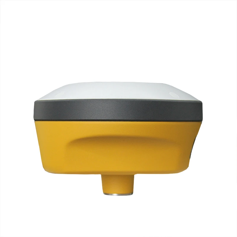
🧱 Rugged, Weather-Resistant Design
Built for real-world conditions, the V200 RTK GNSS receivers feature a durable, dustproof, and waterproof housing. They perform reliably in rain, heat, dust, and rugged construction environments, ensuring longevity and consistent accuracy.
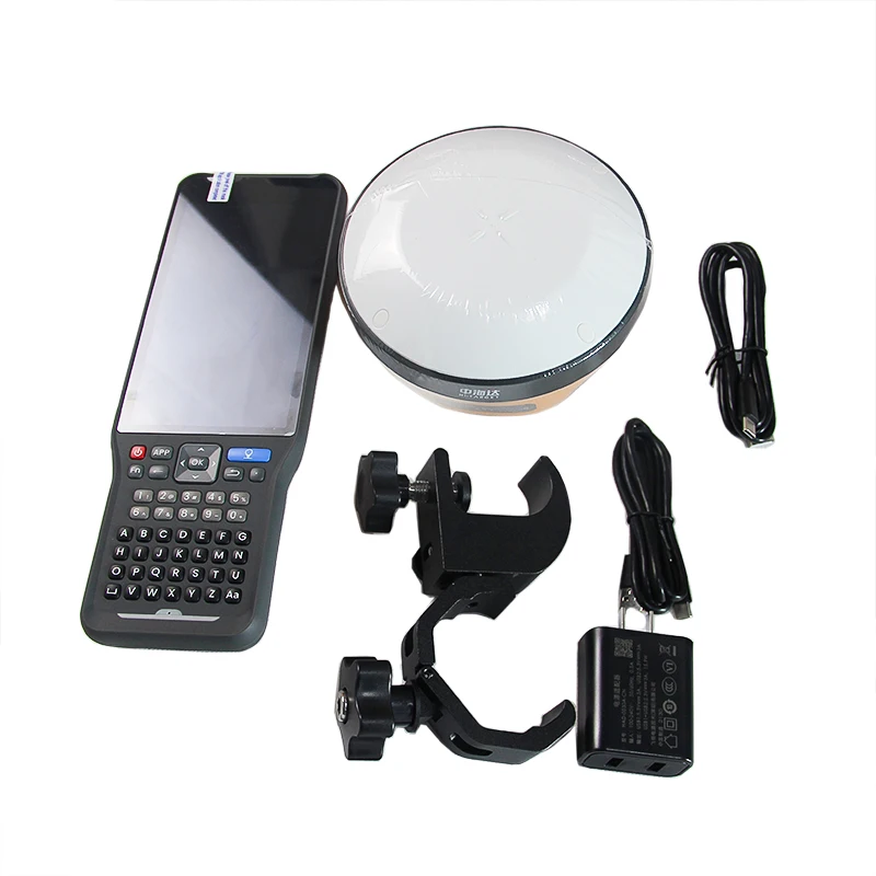
📱 Easy Integration & Data Management
The V200 is compatible with professional survey controllers and data collection software, supporting seamless data transfer to CAD, GIS, and mapping platforms. Wireless connectivity enhances field-to-office efficiency, saving time and reducing errors.
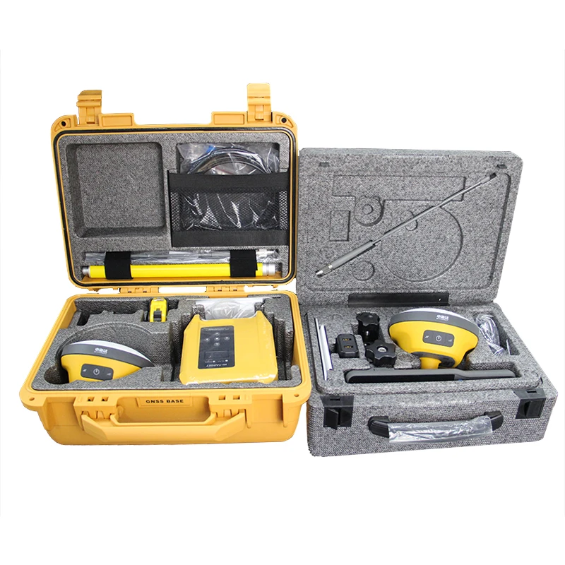
🛠️ Simple Setup & User-Friendly Operation
Quick base and rover configuration
Pole and tripod mounting compatibility
Lightweight and portable design
Intuitive operation for professional surveyors
Minimal setup time for faster productivity

⭐ Key Features
RTK base and rover differential system
Multi-constellation GNSS support
Centimeter-level positioning accuracy
Fast RTK initialization
Long-lasting rechargeable batteries
Rugged, weatherproof construction
Anti-interference performance
Lightweight and portable design
Compatible with professional survey software
Ideal for land surveying, construction, and GIS
💎 Why Choose the V200 RTK GNSS Survey System
The V200 RTK GNSS Survey System offers precision, reliability, and efficiency for demanding surveying tasks. Its advanced RTK technology, durable design, and multi-constellation support make it a trusted solution for professional land surveyors and engineers. From construction sites to large-scale mapping projects, the V200 ensures accurate results, reduced field time, and confident decision-making.


Reviews
There are no reviews yet.