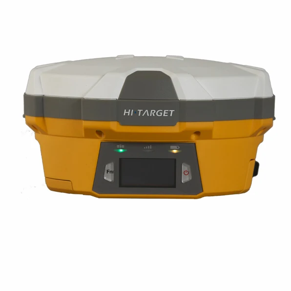
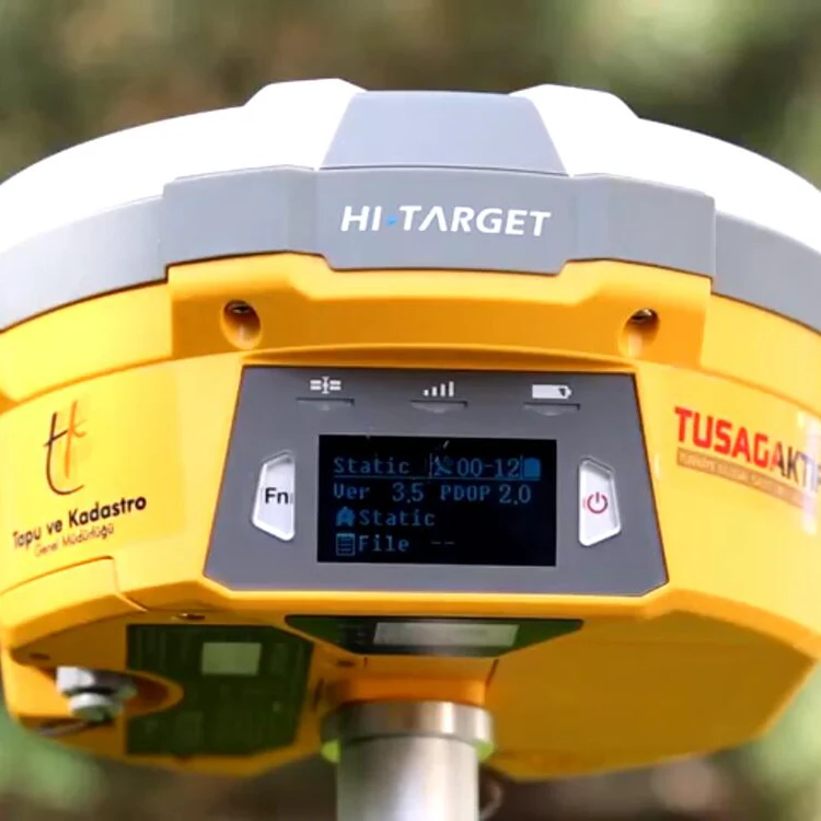
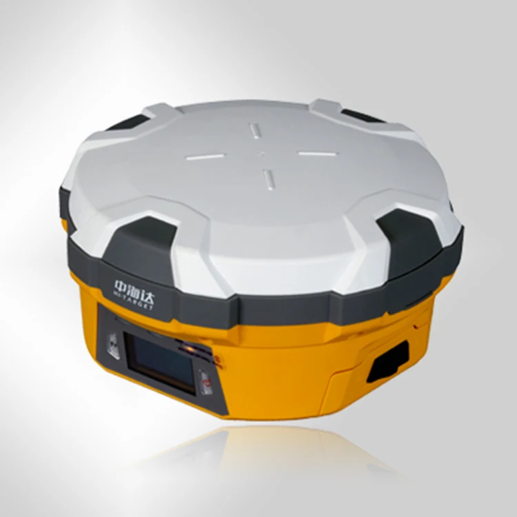
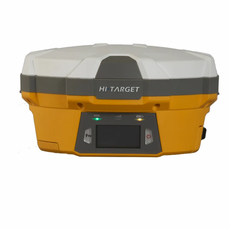
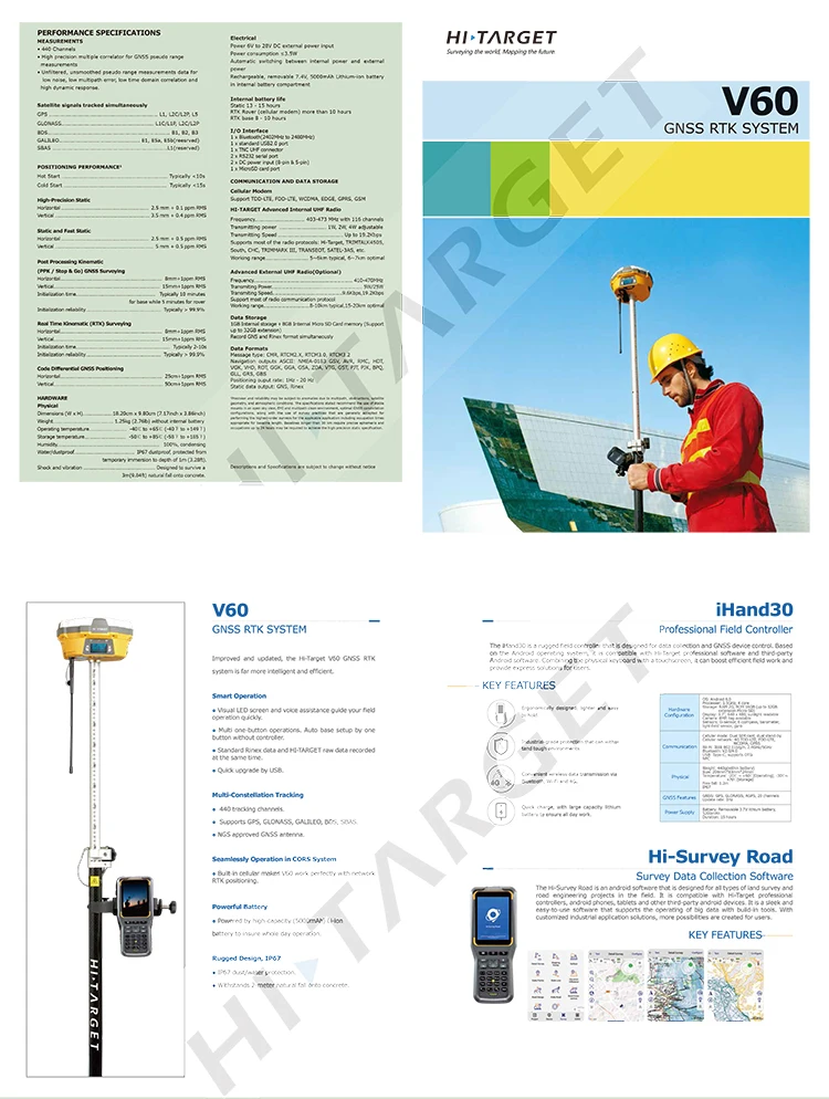
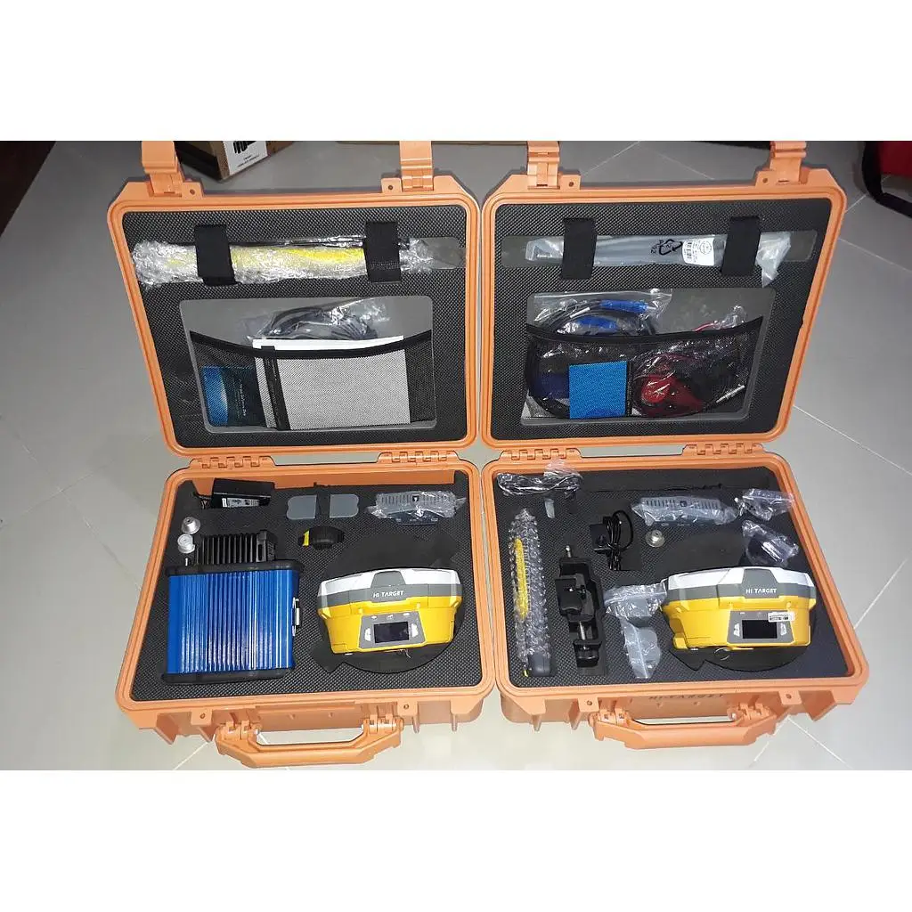
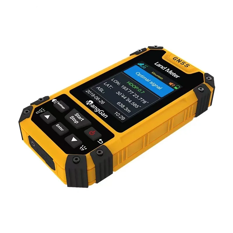
The Professional RTK GNSS Survey Receiver (compatible with V60 / A10 / H32 RTK systems) is a high-precision positioning instrument engineered for professional land surveying, construction layout, GIS mapping, and engineering applications. Designed to deliver centimeter-level accuracy, this advanced GNSS receiver integrates RTK technology, multi-constellation satellite tracking, and robust field durability, making it an essential tool for modern survey professionals.

📡 Advanced RTK & GNSS Technology
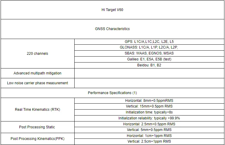
The Professional RTK GNSS Survey Receiver supports Real-Time Kinematic (RTK) positioning, enabling ultra-precise measurements in real time. It tracks multiple satellite constellations, including GPS, GLONASS, Galileo, and BeiDou, ensuring fast signal acquisition, stable performance, and reliable accuracy even in challenging environments such as urban areas or under tree cover.
🎯 Centimeter-Level Accuracy
With RTK correction data, this receiver delivers centimeter-level positioning accuracy, making it ideal for:
Land and boundary surveys
Construction staking and layout
Road, bridge, and infrastructure projects
Topographic and contour mapping
Agricultural and GIS data collection

High accuracy reduces rework, improves efficiency, and ensures professional-grade results.
🔋 Long-Lasting Battery Performance
Equipped with a high-capacity rechargeable battery, the Professional RTK GNSS Survey Receiver supports extended field operations without frequent recharging. Its energy-efficient design allows surveyors to work confidently throughout long workdays, even on remote sites.
🧭 Fast Initialization & Stable Signal
The receiver features rapid RTK initialization and strong anti-interference performance, providing quick fixes and stable data output. Even in environments with partial signal obstruction, the system maintains reliable tracking and smooth data flow.
🧱 Rugged & Weather-Resistant Design
Built for harsh field conditions, the Professional RTK GNSS Survey Receiver features a rugged, dustproof, and waterproof housing. It withstands rain, dust, vibration, and temperature variations, ensuring consistent performance on construction sites, open fields, and remote locations.
📱 Seamless Data Collection & Compatibility
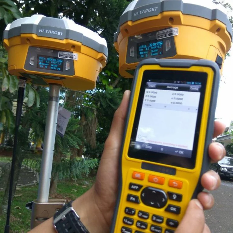
The receiver is compatible with RTK survey controllers, data collectors, and surveying software, allowing easy data transfer to CAD, GIS, and mapping platforms. Wireless connectivity options enhance efficiency and streamline field-to-office workflows.
🛠️ Easy Setup & Operation
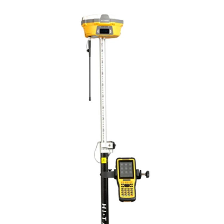
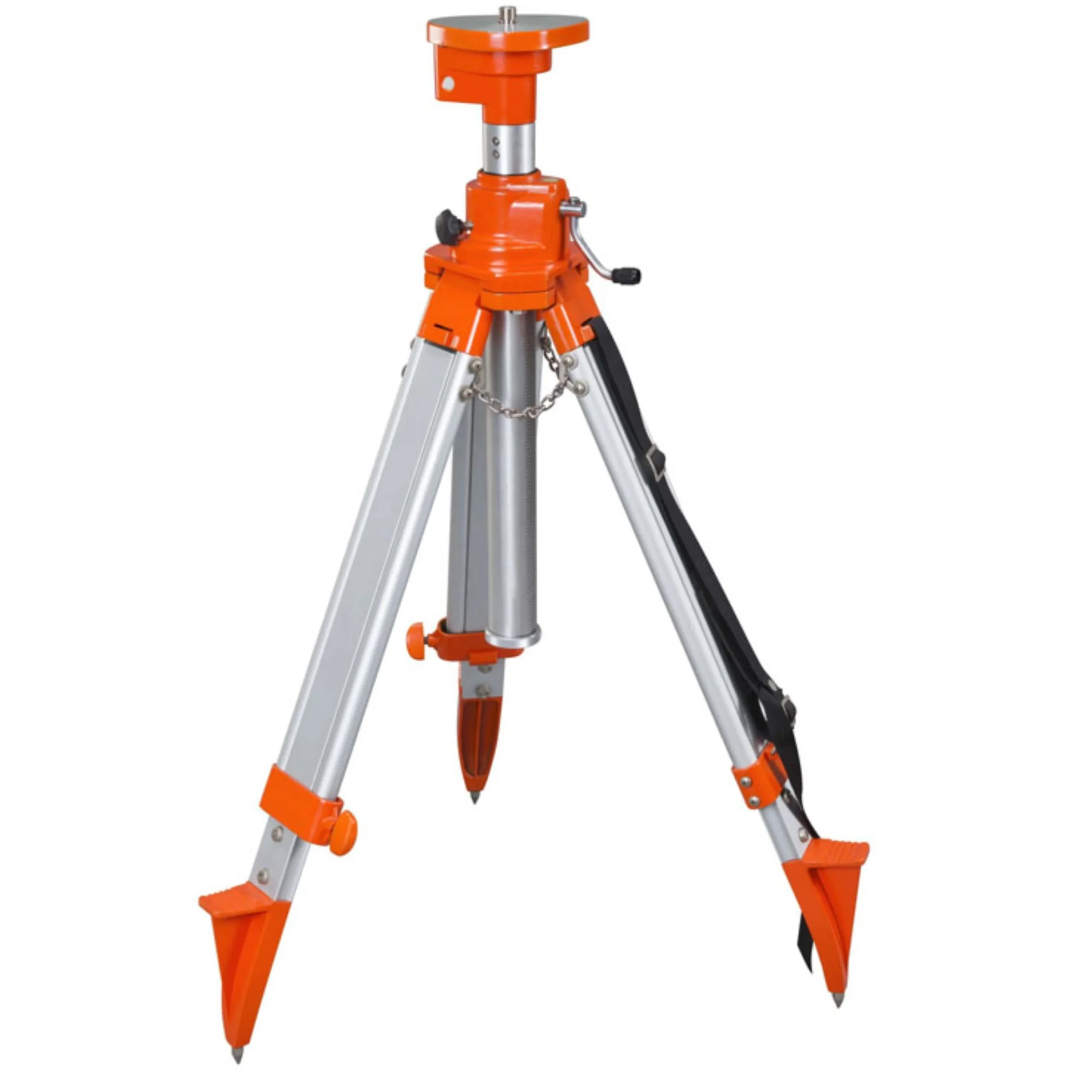
Quick pole or tripod mounting
Simple RTK base/rover configuration
User-friendly operation for professionals
Reliable performance with minimal calibration
Portable and lightweight for daily field use
⭐ Key Features
RTK GNSS positioning technology
Multi-constellation satellite support
Centimeter-level measurement accuracy
Fast RTK initialization
Long-lasting rechargeable battery
Rugged, waterproof, and dustproof design
Strong anti-interference capability
Compatible with V60 / A10 / H32 systems
Ideal for surveying, construction, and GIS
💎 Why Choose This RTK GNSS Survey Receiver
The Professional RTK GNSS Survey Receiver offers the perfect combination of accuracy, reliability, and durability. Designed for demanding professional use, it delivers consistent, high-precision results while simplifying workflows and increasing productivity. Whether for land surveying, construction layout, or GIS mapping, this receiver provides trusted performance and excellent value for modern surveying professionals.




Reviews
There are no reviews yet.