Digital Total Station RTS-102R10 Dual-axis

$5,275.80

+ Free Shipping
Features & Functions
1. High precision design, new axis and four-encoder system are adopted to ensure measuring accuarcy, angle 2. measurement accuracy reaches to 1″, distance measurement accuracy reaches to 1mm+1ppm.
2. Long reflectorless measuring distance reaches 1000m(R1000).
3. Precision Certification.
Technical Specifications
Magnification
30x
Image
Erect
Field of View
1°30′
Resolving Power
3.0″
Min Focus
1.3m
Accuracy
2″
Method
Absolute
Minimum Reading
1″/5″
1 prism
4000m
Prismless
1000m
Fine Mode
1.1 sec
Coarse Mode
1.0 sec
Tracking Mode
0.4 sec
Atmospheric Correction Range
YES
Prism Constant Correction Range
YES
Including Distance Measurement
5.5 Hours
Angle Measurement Only
5 Hours
 
Optional Accessories
ATS-1
Aluminum Tripod for Mounting Total Station
TK30 Set
Single Prism Assembly as Survey Target
NSL35
Telescopic Prism Pole

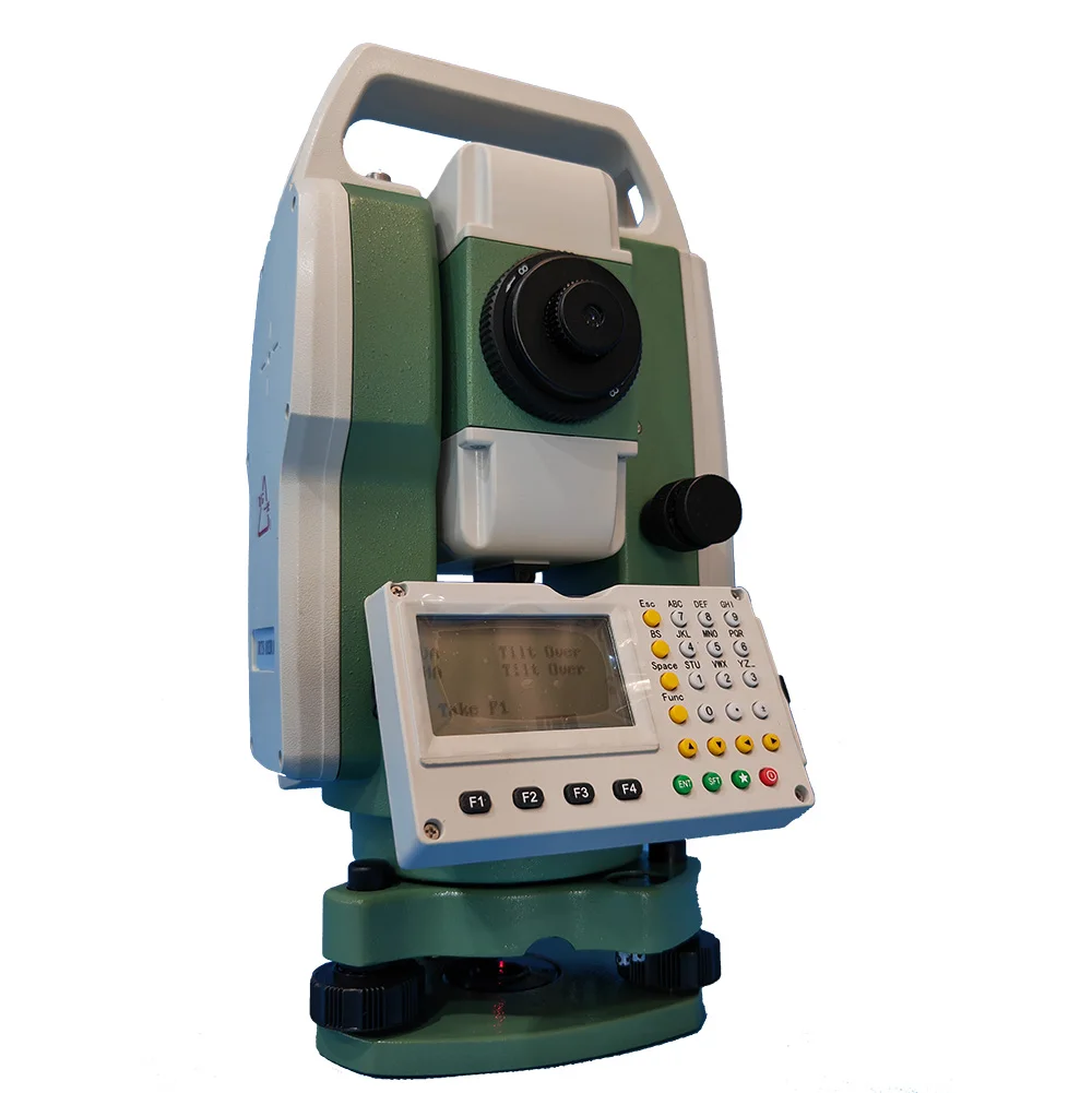
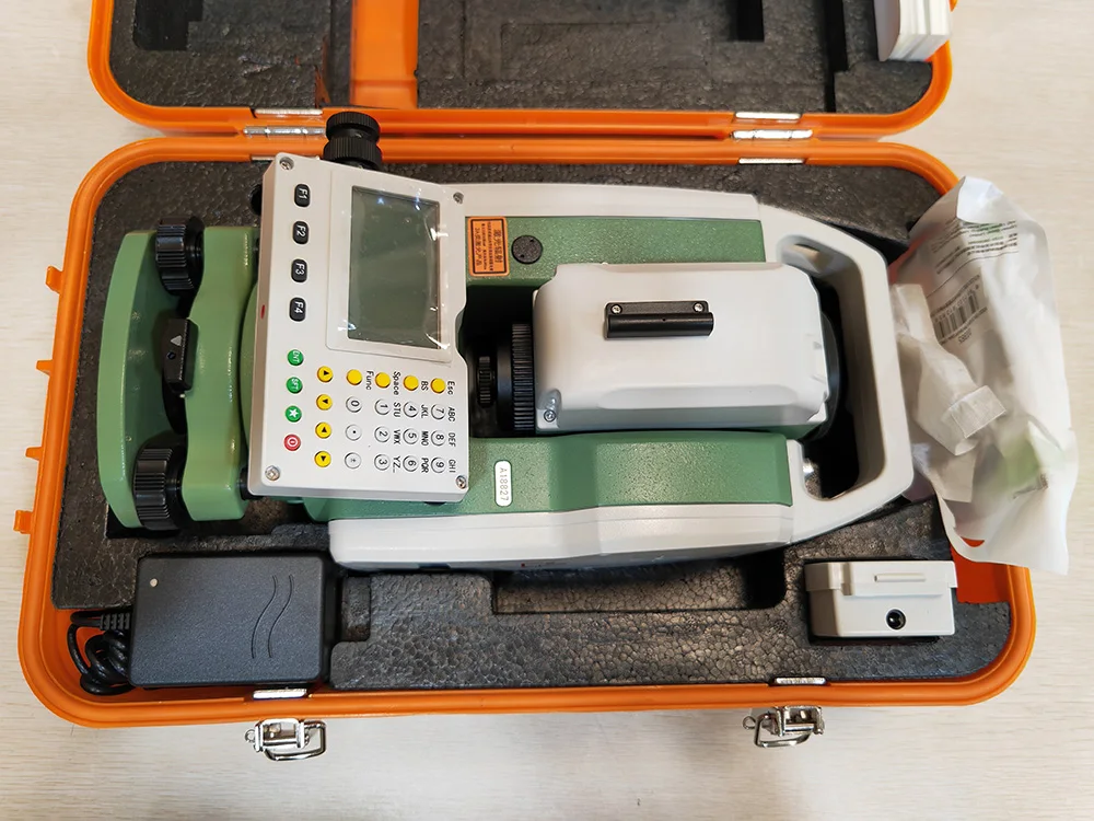
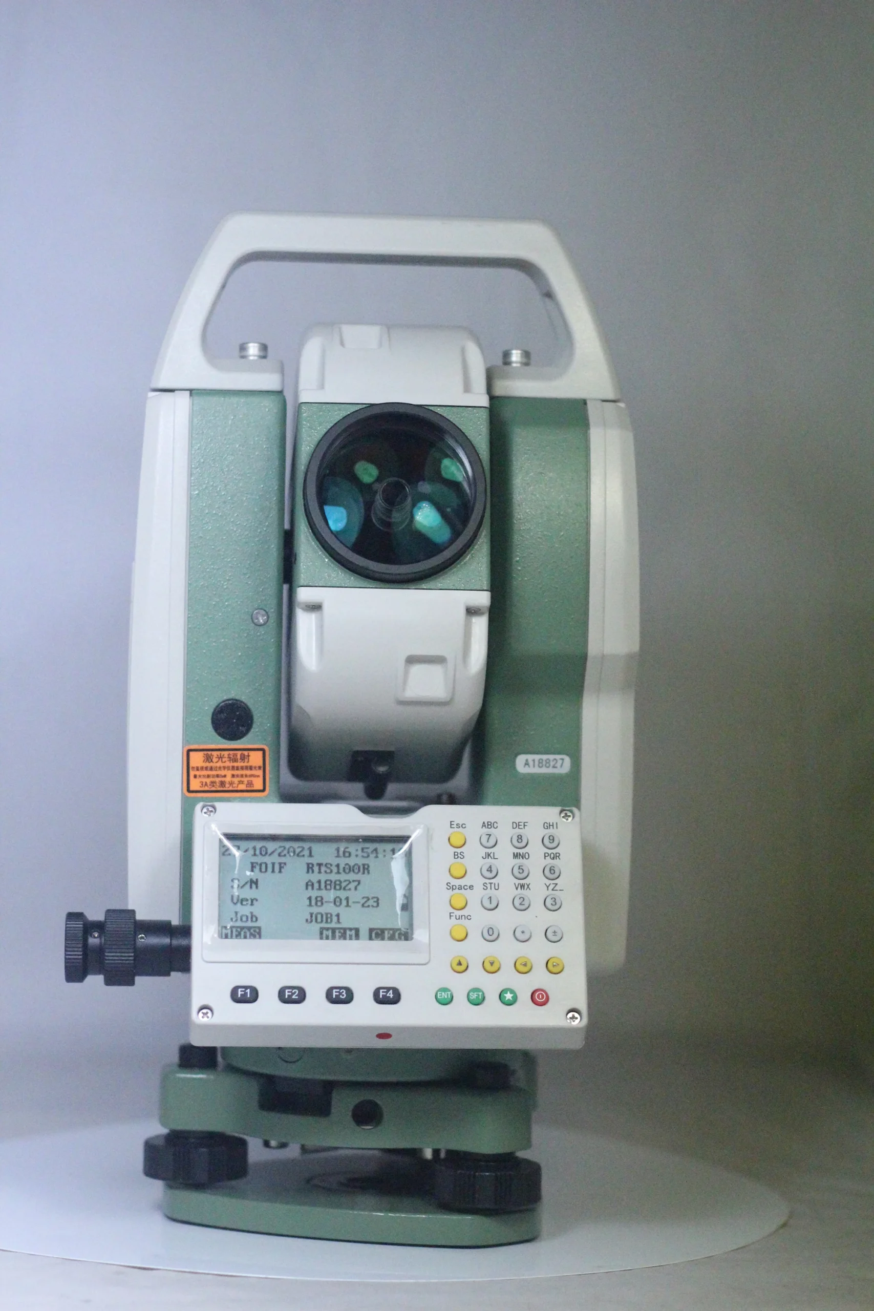
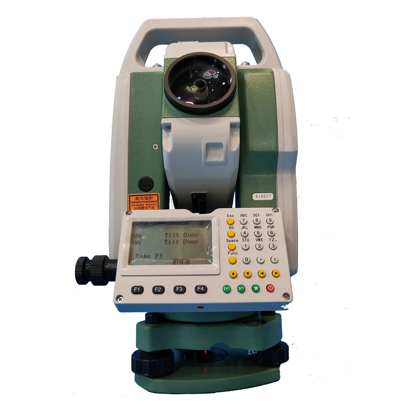
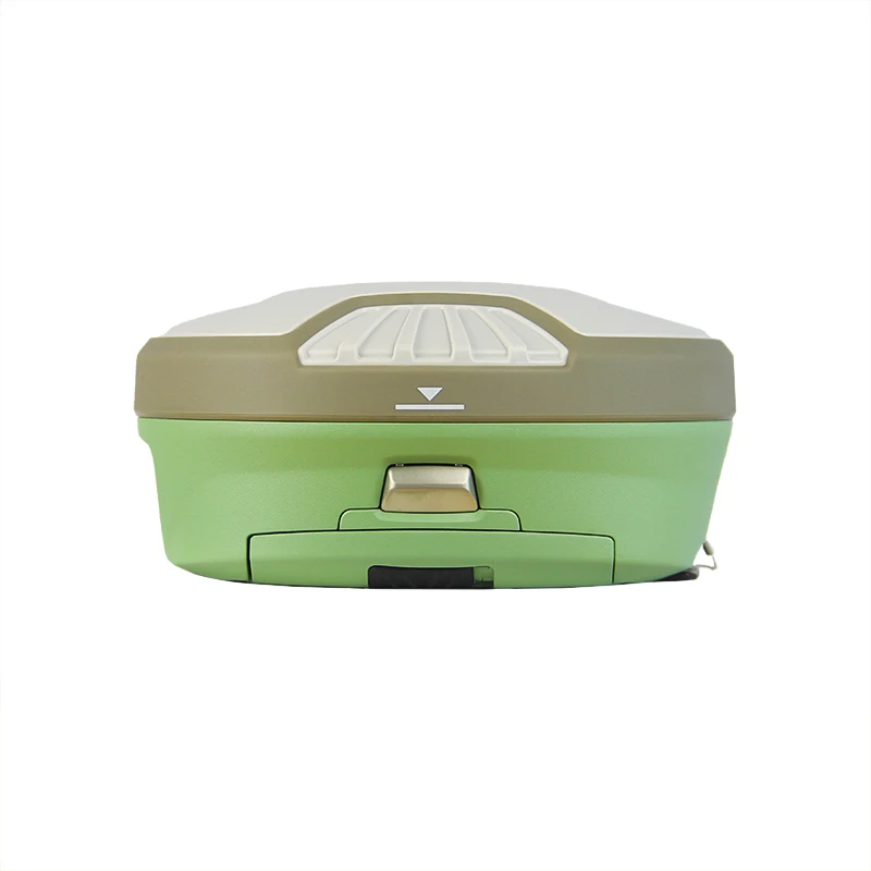
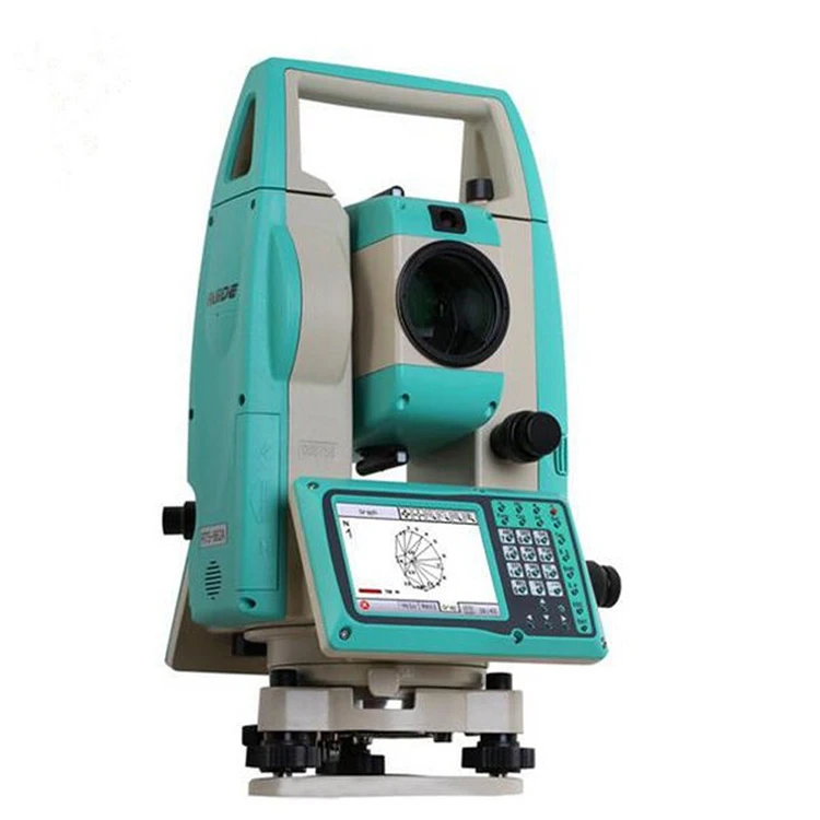
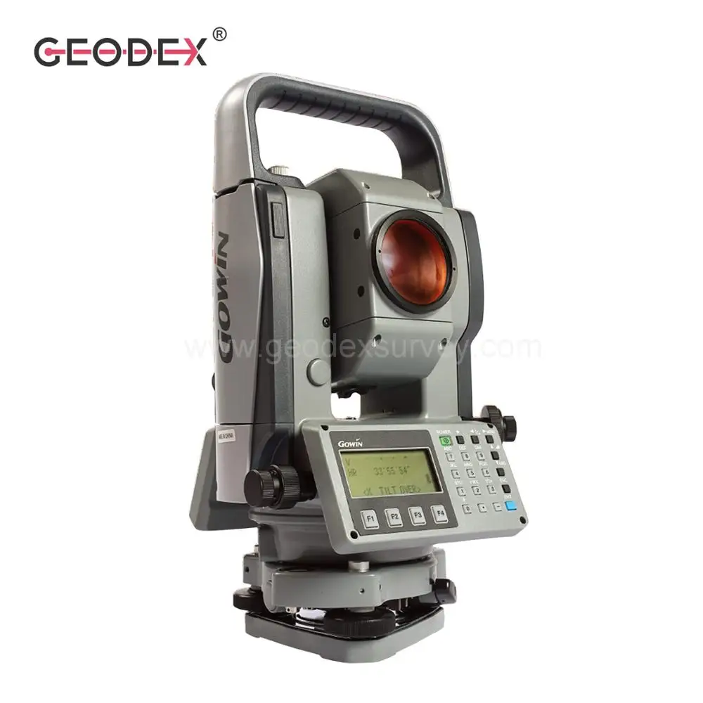
Full range of geodetic surveying instruments which we have been specializing includes Drone UAV, RTK GPS/GNSS Surveying System,handheld GPS/GNSS, Total Station, theodolite, automatic levels, digital level, laser level and Surveying Prisms, Surveying Accessories ect. 

 
Color

green

Shopping Basket